Tailored GIS and custom software solutions designed to streamline operations, optimize location intelligence, and advance global environmental compliance.
ExceedIT Systems Limited is a leading software development company dedicated to sustainability and environmental conservation. We take pride in our commitment to creating innovative digital solutions that support organizations in achieving their sustainability goals.
We developed a cutting-edge digital tool meticulously engineered to streamline and facilitate seamless compliance with the Rainforest Alliance 2020 Standard.
"At ExceedIT Systems, we are driven by a mission to empower businesses and organizations to protect and conserve our planet. We do this by providing advanced software solutions that simplify compliance with the Rainforest Alliance 2020 Standard, enabling our clients to contribute to sustainable and responsible business practices."
The foundational pillars guiding our innovation, responsibility, and client partnerships every day.
We are committed to environmental conservation and strive to reduce the ecological footprint of businesses worldwide.
Innovation is at the heart of our company. We continuously evolve our software to meet the changing needs of sustainability standards and regulations.
We maintain high standards of quality in our software development and support services to ensure our clients' success.
We understand the responsibility we bear in helping businesses meet sustainability goals and uphold ethical and legal standards.
ExceedIT Systems Ltd is a one-stop shop for solutions related to Geographical Information Systems and Software Development.
We have a well-versed team of GIS experts that provide world-class mapping solutions designed to drive location intelligence.
We provide tailored and custom web-based and mobile-based software infrastructures configured perfectly to suit evolving client needs.
Our web design services combine creativity and functionality to create visually appealing and user-friendly websites. We specialize in creating engaging layouts, intuitive navigation, and responsive designs that ensure optimal user experience across different devices.
Our enterprise GIS services help organizations leverage geographic information systems (GIS) to make informed decisions and optimize their operations. We offer tailored solutions for data management, spatial analysis, mapping, and visualization, enabling businesses to harness the power of location intelligence for improved efficiency.
Our mobile app development team builds cutting-edge applications for iOS and Android platforms. We utilize the latest technologies and frameworks to create feature-rich, intuitive, and seamless mobile apps that cater to the specific needs of our clients and their target audience.
Our map production and analysis services involve creating accurate and visually appealing maps for various purposes. Whether you need maps for geographic analysis, planning, or presentation, our experts use advanced mapping tools and techniques to provide insightful visualizations and actionable insights.
Our IT program and project management services provide comprehensive oversight and execution of IT initiatives. From planning and resource allocation to risk management and quality assurance, our experienced team ensures successful delivery of projects on time and within budget, while aligning with your business objectives.
Our GIS application development services focus on creating customized software solutions that utilize geospatial data. We build robust and scalable GIS applications tailored to your specific needs, empowering you to analyze, visualize, and manipulate geographic information efficiently and effectively. Our solutions can integrate with existing systems and enable seamless data integration for enhanced decision-making.
Explore our dual specialties in action: deploying mobile-first tracking apps, managing clean software architectures, and coordinating geo-referenced surveying out in the field.

Engineering robust backend nodes, interactive GIS application analytics, and fluid responsive UI environments tailored for environmental compliance matrix trackers.
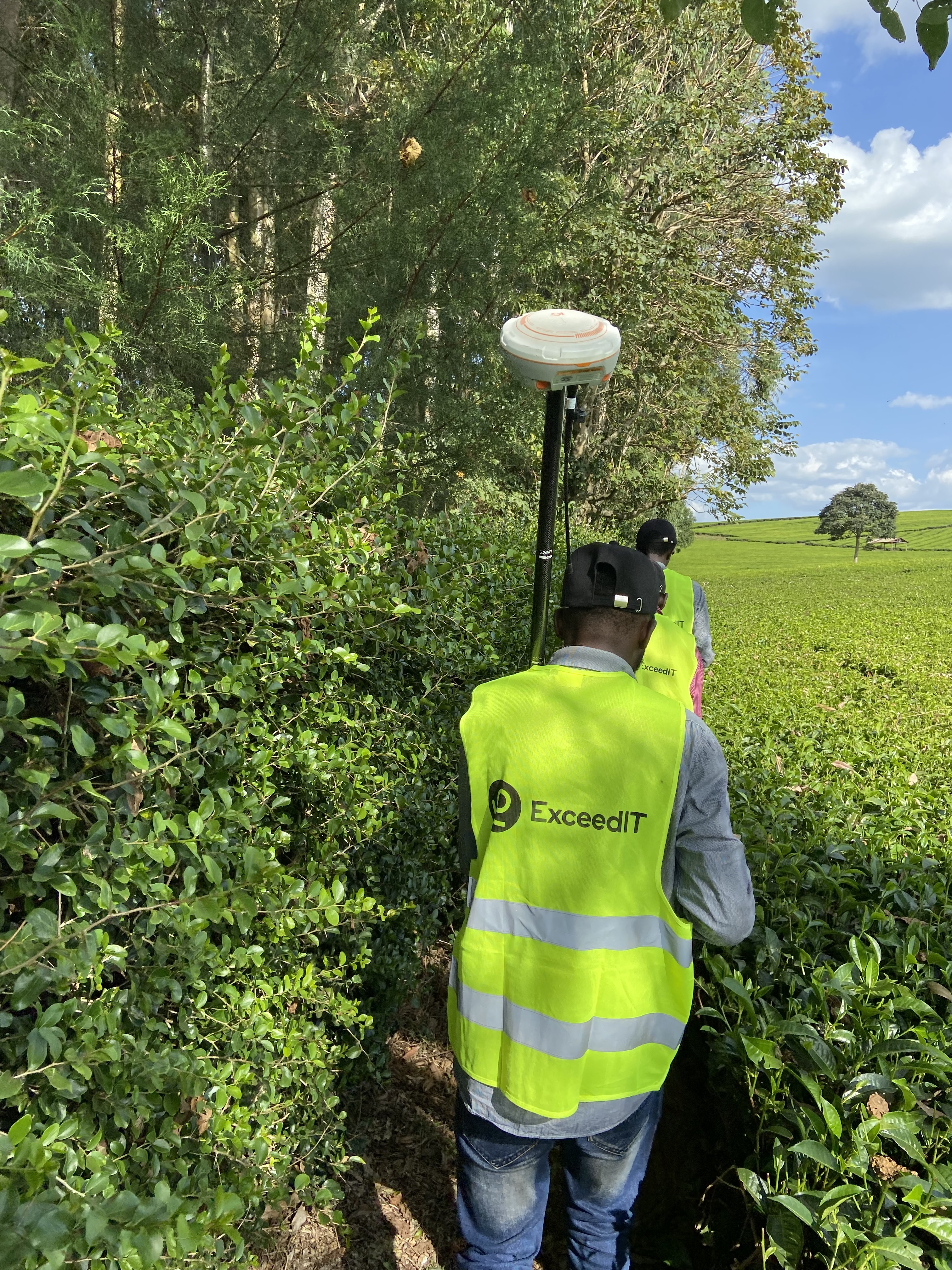
Precision GIS Mapping Path Tracking
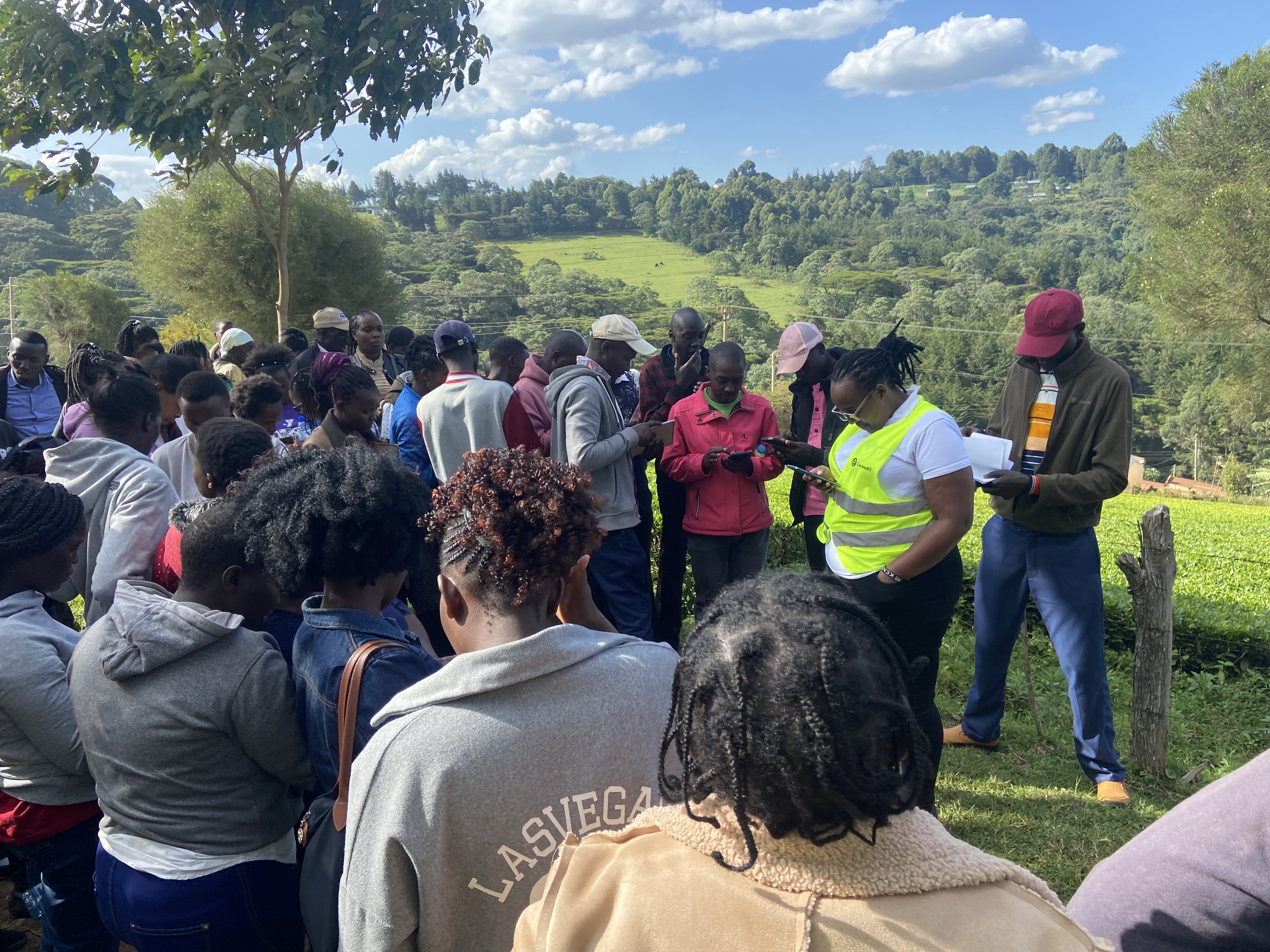
Farmer Calibration & Digital Verification Forums
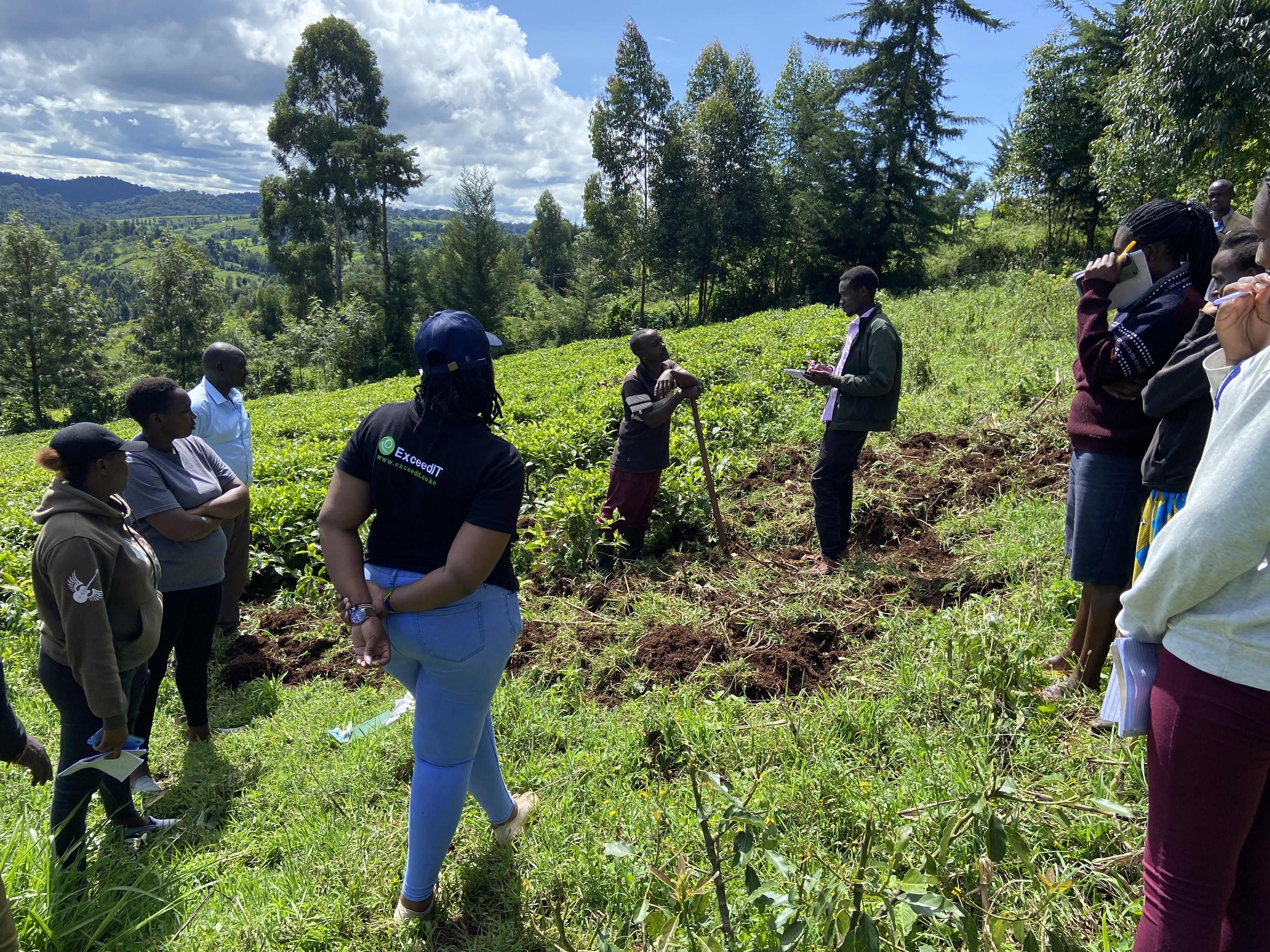
Rainforest Alliance Standard Progress Audit
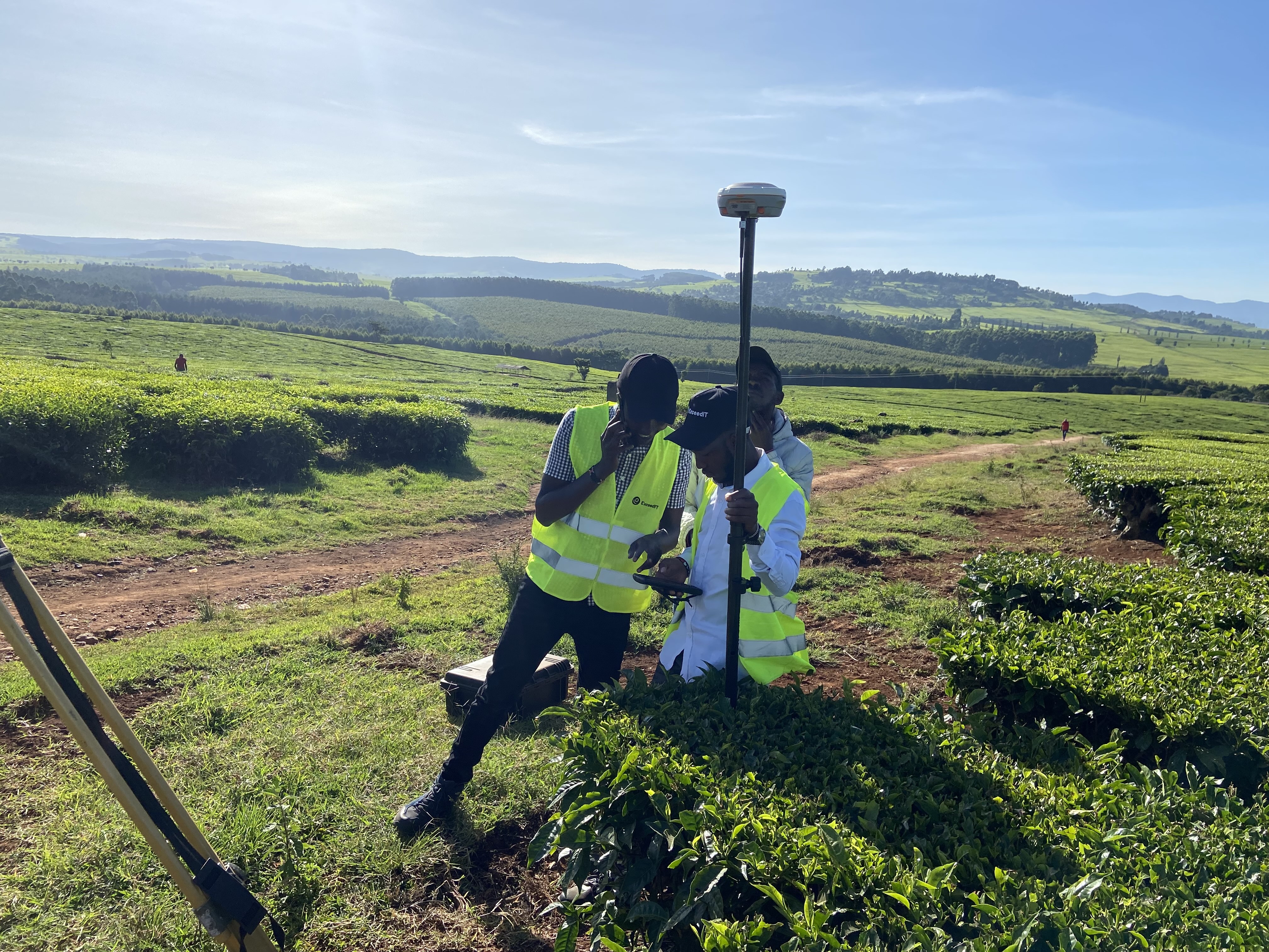
Satellite Telemetry Alignment Sessions
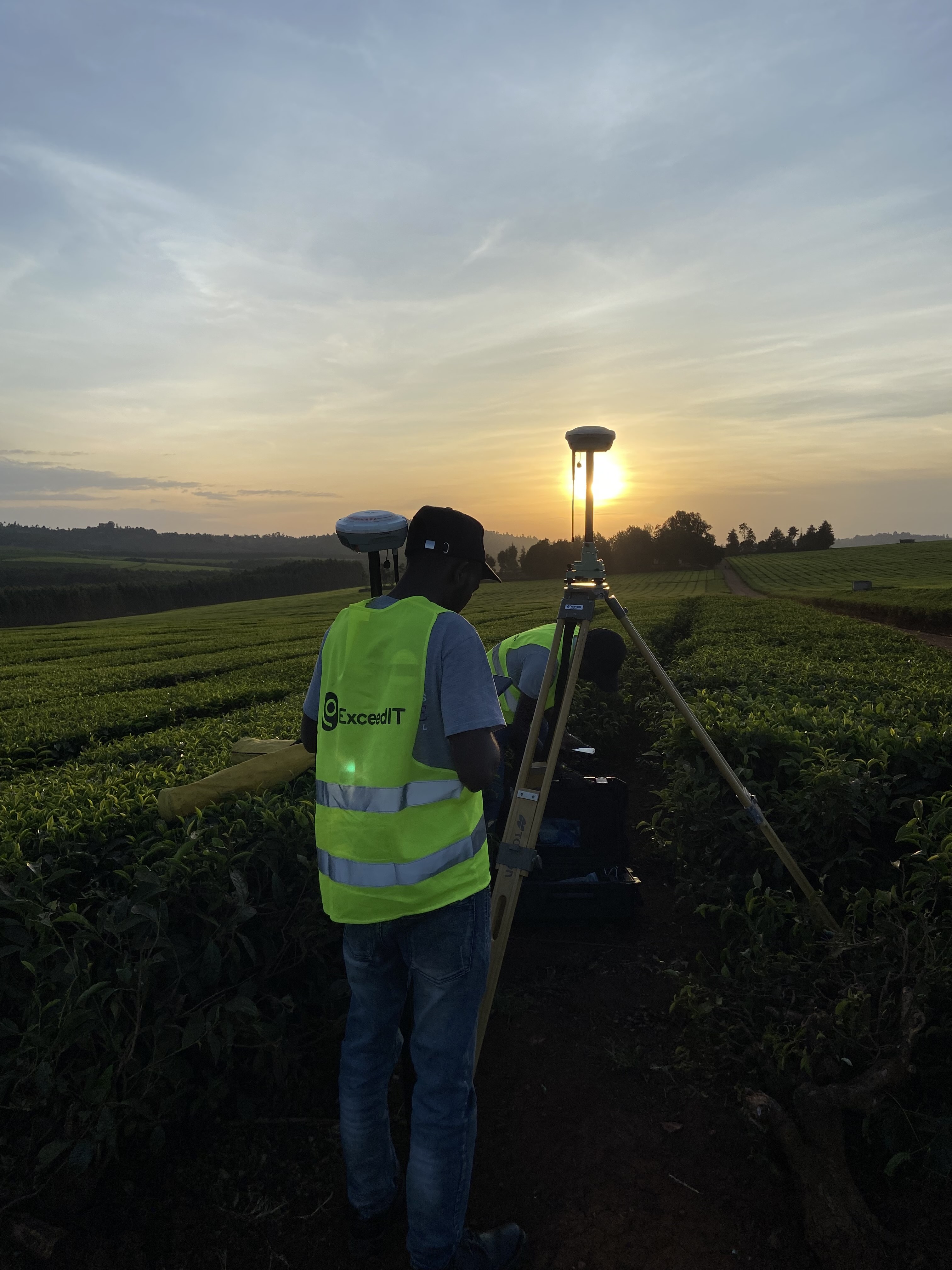
High-Precision GNSS Positioning Metrics
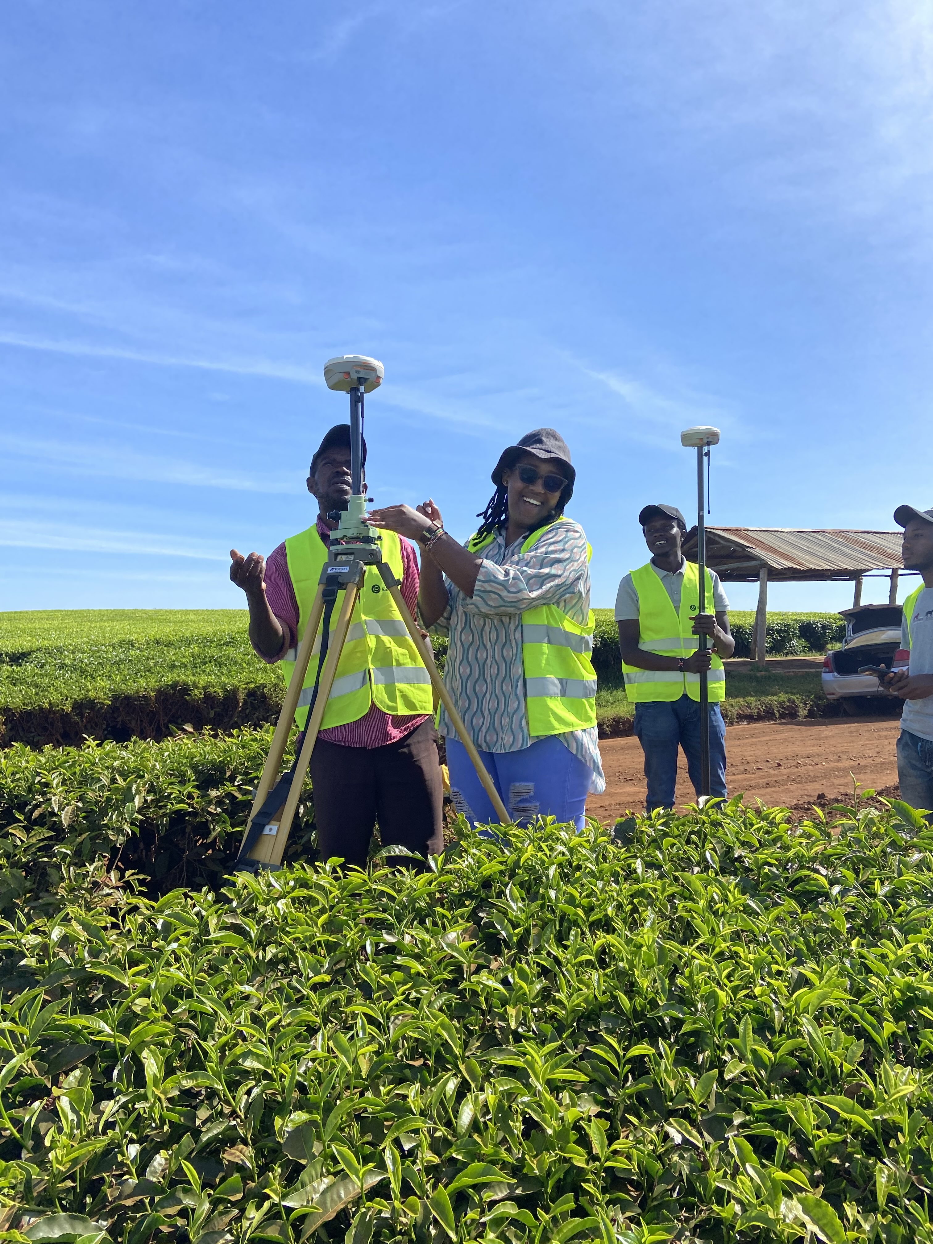
Agricultural Boundary Topography Data Gathering
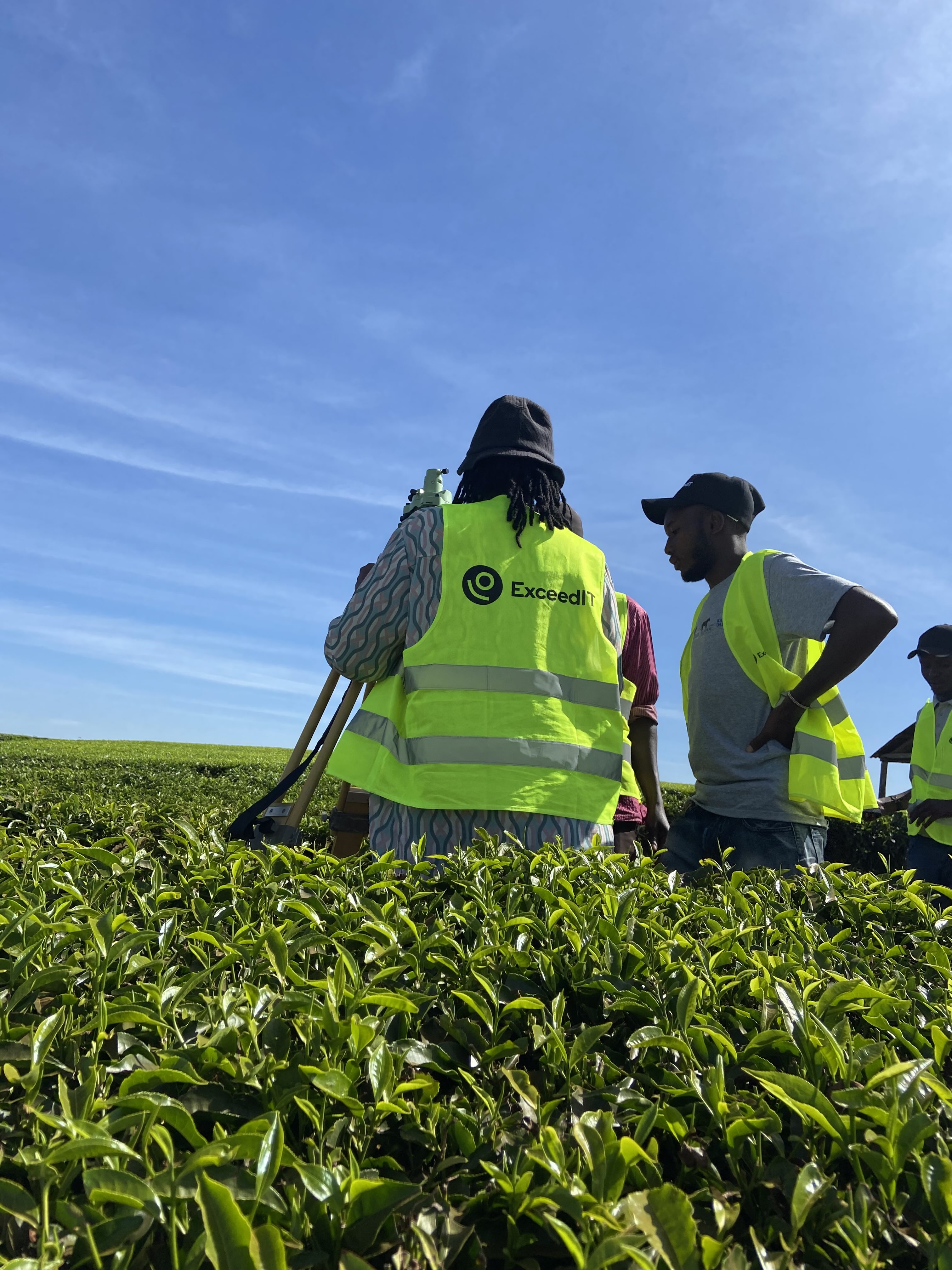
Boundary Validation Auditing Matrices
Proudly powering custom GIS architectures, mobile tracking solutions, and environmental compliance frameworks for impactful organizations across East Africa.